
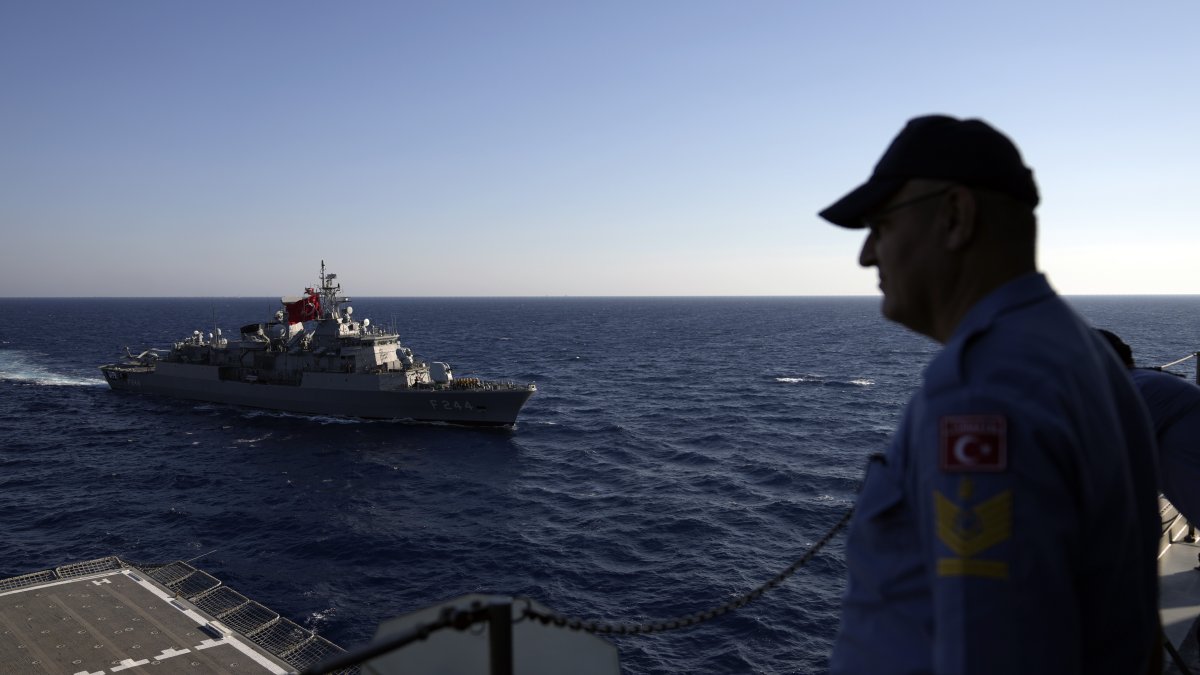
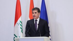
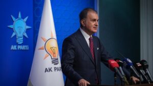
The Maritime Spatial Planning (MSP) by Greece has pitted the country against Türkiye. Ankara on Wednesday hit out at a “unilateral” move by its neighbor amid a dispute over rights in the Aegean Sea.
The Turkish Foreign Ministry said in a statement that certain areas included in the MSP declared as part of the EU acquis violated Türkiye’s maritime jurisdiction in the Aegean Sea and Eastern Mediterranean.
“We would like to emphasize that Greece’s unilateral moves and claims do not bear any legal consequences for our country. We would like to remind Greece that countries should abstain from unilateral actions in the Aegean and Mediterranean Seas and international maritime law encourages cooperation between littoral states, including on the environment, and remind that we are always ready to cooperate with Greece in the Aegean Sea,” the statement said.
“Such actions and attempts on fait accompli will never have legal consequences for our country. Türkiye safeguards its stance for the need to adhere to a sincere and comprehensive approach based on international law and good neighborliness for the solution of issues, in the framework of the Athens Declaration for Friendly Relations and Good Neighborliness dated Dec. 7, 2023, that reflects the spirits both sides are willing to sustain,” the statement said.
On Wednesday, the Greek media reported that Athens issued its MSP, citing that it exercised its rights under international laws.
Ankara and Athens seek to improve relations after years of hostilities, but maritime jurisdictions remain a thorny issue. The countries that came close to an all-out war in the 1990s over the Aegean Sea remain vigilant, with Türkiye concentrating on developing a domestic defense industry. Greece relies on foreign partners to boost its defenses. An agreement on where their maritime zones begin and end is important for determining rights over possible gas reserves and power infrastructure schemes. Türkiye, which has the longest continental coastline in the Eastern Mediterranean, rejects the maritime boundary claims of Greece and the Greek Cypriot administration, arguing that their excessive claims violate the sovereign rights of both Türkiye and the Turkish Cypriots in the region.
The dispute over the waters dividing the neighbors arose again last year between Türkiye and Greece when Athens announced that it would build two marine parks in the Aegean and Ionian Seas by the end of 2024, despite objections by Türkiye.
The plan for the park in the Aegean has irked Ankara, which has accused Athens of exploiting environmental issues to push a geopolitical agenda. Greece’s Foreign Ministry retorted that Ankara was “politicizing a clearly environmental issue.”
The Greek Foreign Ministry said in a statement on Wednesday that the country adopted the National Spatial Strategy for Marine Zones, essentially specifying the MSP, and defined it as an important initiative.
“The MSP constitutes a holistic spatial planning framework and is a necessary condition for the successful development of a blue and circular economy,” the ministry’s statement said.
The ministry said the strategy aimed to resolve “past issues,” and it should not be interpreted that they ended the dialogue with Türkiye on the issue. The ministry, however, underlined that any discussion should not be considered a concession to Türkiye.
“Greece desires a positive climate in relations with Türkiye and favors a relationship based on international law and good neighborliness,” the statement said.
Earlier this week, the Ankara University National Research Center for Maritime Law (DEHUKAM) published the first academic study on Türkiye’s MSP, which aims for the country to maximize sustainable use of its surrounding seas. Türkiye’s marine spatial planning efforts, launched years ago to protect its rights and interests in surrounding seas, better assess the environmental impacts of future maritime activities, and maximize the use of marine areas, are now reaching their final stage with contributions from relevant institutions. As part of this initiative, DEHUKAM published a map on the website www.dmpturkiye.dehukam.org.
The map shows that under Türkiye’s marine spatial planning, areas beyond its territorial waters in surrounding seas have been designated for economic, scientific and military activities, with specific zones identified for each purpose. The studies are being conducted both to safeguard Türkiye’s rights and interests in its seas and to ensure alignment with the EU’s relevant legislation.
According to official sources, a high-level “Inter-Institutional Coordination Committee” will be established under the auspices of the presidency and coordinated by the Foreign Ministry to manage Ankara’s MSP across state institutions. The plan, which functions as a “master plan” for the seas, will help guide how maritime areas will be used.
The Turkish Republic of Northern Cyprus (TRNC) is also reportedly conducting similar studies toward declaring its own MSP. The MSP study is expected to contribute to a better understanding of the “Blue Homeland” concept among the public and relevant sectors and to help organize Türkiye’s activities in the surrounding seas in a more structured way by also taking environmental factors into account.
According to a DEHUKAM statement, seas are not only a source of natural wealth but are also essential for economic development, food security and ecosystem health. Effective, sustainable and multi-stakeholder governance of the seas is therefore critical, and this is where MSPs come into play. An MSP is a science-based, participatory and integrated planning process developed to ensure harmonious use of coastal and marine areas. It aims to balance different uses such as fisheries, energy production, transportation, tourism, conservation and scientific research for optimal and sustainable utilization of marine spaces. An MSP is a tool for protecting marine areas and evaluating economic potential, but also contributes to strengthening the blue economy, managing marine protected areas, combating climate change and securing the future of the seas.
Although Türkiye has not yet officially adopted an MSP, significant progress has been made in recent years. Numerous studies, research efforts and projects related to an MSP have been conducted in collaboration with public institutions, universities, civil society organizations and the private sector.
The academic interest in an MSP is also growing, with the topic being widely discussed at national and international conferences, symposiums and workshops. As part of these efforts, DEHUKAM has led the establishment of the Türkiye MSP Platform, which aims to present the country’s efforts in this field within a structured framework. The platform includes up-to-date information on MSP-related projects in Türkiye, the authorities responsible, current legislative infrastructure, and the core elements of an MSP.
One of the most striking components of the Türkiye MSP Platform is the new map, created using open data sources shared by public institutions and the private sector. The MSP map visually presents marine activities, potential areas of use and planning needs in Turkish waters. It serves as a critical reference for decision-makers, researchers and investors. The development of such a map marks a concrete and strategic step in Türkiye’s marine spatial planning process. The map, created as an academic study, does not represent the official position of Türkiye. The designated areas on the DEHUKAM map indicate project implementation zones and do not imply state jurisdiction. Still, the Türkiye MSP Platform functions not only as an information-sharing tool but also as a strategic platform that strengthens multi-stakeholder collaboration, bridges academia and practice and supports policymaking. All of these efforts reflect Türkiye’s determination to scientifically build its “Blue Homeland” vision, recognizing the economic potential, environmental value and geopolitical importance of the seas surrounding the country.
Türkiye aims to develop a holistic and sustainable management model for its marine areas, ensuring the conservation and development of the “Blue Homeland” for both current and future generations.
DEHUKAM CEO Mustafa Başkara spoke to Anadolu Agency (AA) about the first academic study on Türkiye’s MSP, highlighting the growing global need for marine resources.
However, Başkara warned that increased marine use has threatened the sustainability of seas, marine ecosystems and biodiversity. “That’s why marine spatial planning studies were initiated by UNESCO with the initiatives of the Intergovernmental Oceanographic Commission in the 2000s,” he said.
He noted that while the EU made MSPs mandatory for member states with a 2014 directive, Türkiye, as a non-member, has chosen to carry out an MSP entirely within the framework of its own sovereignty.
He emphasized that the research and activities led by DEHUKAM are based on an ecosystem-based approach and that the Türkiye MSP Platform covers studies, projects and institutional findings related to marine spatial planning.
Başkara underscored that the MSP map is not a one-time, finalized product, but a “living map” – one that can evolve and be refined in line with developing needs and newly identified jurisdictions. He stated that Türkiye’s marine needs – such as for energy, fisheries and transportation – will reach new dimensions through the use of the MSP map and integration with the blue economy.
“Our work in this field is based on academic scientific data and produced using publicly available resources, in coordination with public institutions,” he said.


Be First to Comment